Nature & routes · 4 min read
The Tien Shan Mountains: Peaks, Lakes, Routes and History
Updated: · Kyrgyzstan Outdoor
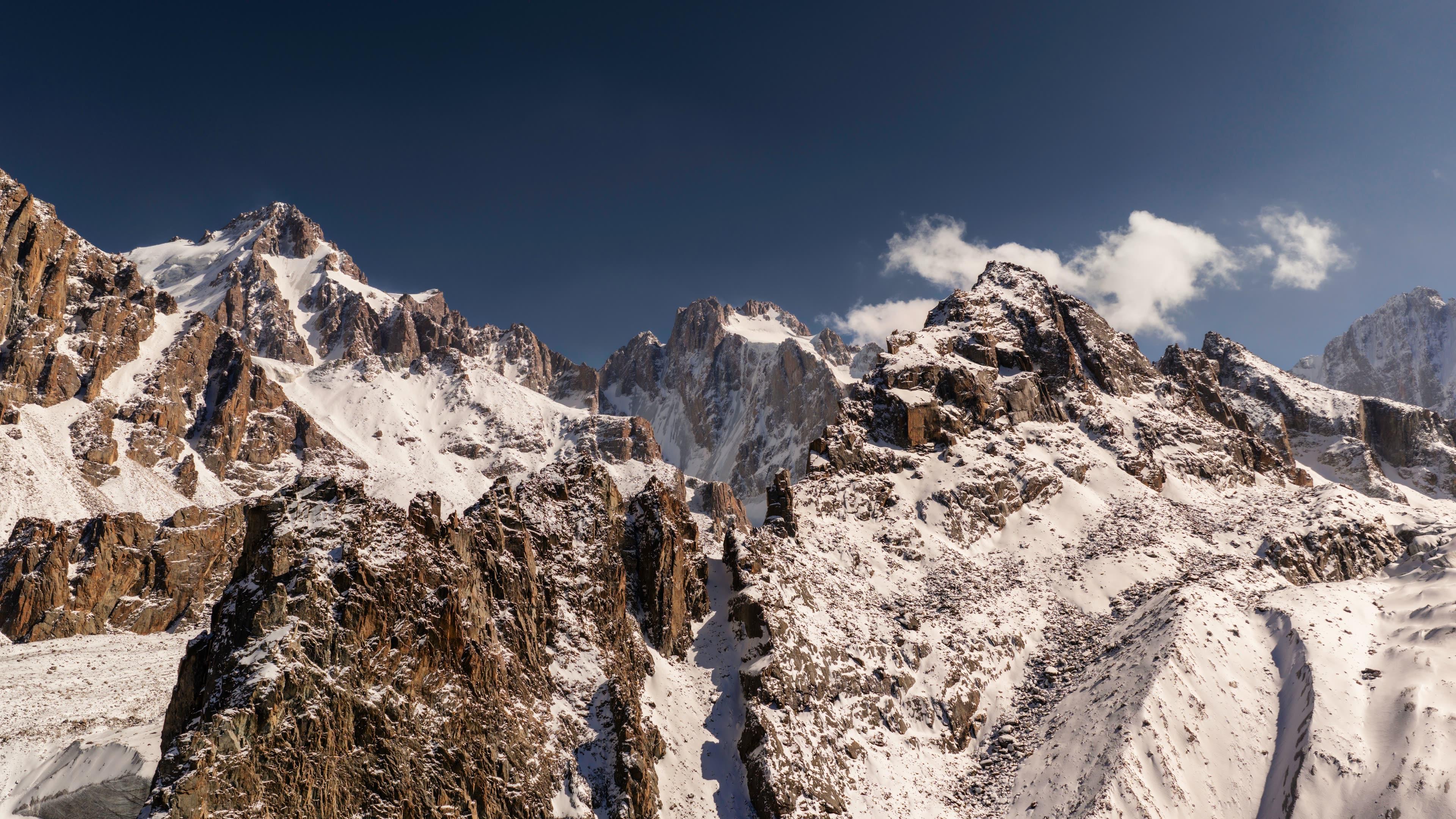
The Tien Shan ('Celestial Mountains', Kyrgyz Teñir-Too) is a mountain system about 2,500 km long spanning Kyrgyzstan, Kazakhstan, China's Xinjiang region and Uzbekistan. Its highest peak is Jengish Chokusu (Victory Peak, 7,439 m) on the Kyrgyz–Chinese border. The range covers most of Kyrgyzstan, cradling Son-Kul, Issyk-Kul, Ala-Kul and Kel-Suu. The Western Tien Shan has been a UNESCO World Heritage Site since 2016.
Where is the Tien Shan?
The Tien Shan runs about 2,500 km east to west through the heart of Central Asia, across four countries:
| Country | Part of the Tien Shan |
|---|---|
| Kyrgyzstan | Most of the country: Issyk-Kul, Son-Kul, Naryn and the Ala-Too ranges |
| Kazakhstan | The Trans-Ili Alatau south of Almaty and the eastern ranges |
| China (Xinjiang) | The Eastern Tien Shan between Urumqi and Kashgar |
| Uzbekistan | The Chatkal and Pskem ranges in the west |
Because it sits in the middle of the range, Kyrgyzstan is the easiest place to experience the Tien Shan.
What does the name mean?
Tian Shan means "Celestial Mountains" in Chinese. In Turkic languages the range is Tengri Tagh, after the old sky god Tengri; in Kyrgyz it is Teñir-Too. One of its most famous peaks, Khan Tengri, means "lord of the sky".
Highest peaks
| Peak | Height | Location | Note |
|---|---|---|---|
| Jengish Chokusu (Victory Peak) | 7,439 m | Kyrgyz–Chinese border | Highest point of the Tien Shan |
| Khan Tengri | ~7,010 m (with ice cap) | Kyrgyzstan–Kazakhstan–China | Marble pyramid that glows red at sunset |
| Dankova Peak | ~5,980 m | Kokshaal-Too, Kyrgyzstan | Remote, rarely climbed |
Both 7,000-metre peaks are for experienced mountaineers, but their base camps can be reached by helicopter and on trekking tours.
Glaciers and rivers
The Tien Shan is Central Asia's "water tower":
- Inylchek glacier: about 60 km long, one of the longest outside the polar regions. Its Merzbacher lake drains suddenly almost every summer.
- Naryn river: Kyrgyzstan's longest river, which joins the Kara Darya in the Fergana valley to form the Syr Darya.
- Chu river: waters the fertile Chuy valley around Bishkek.
Lakes of the Tien Shan
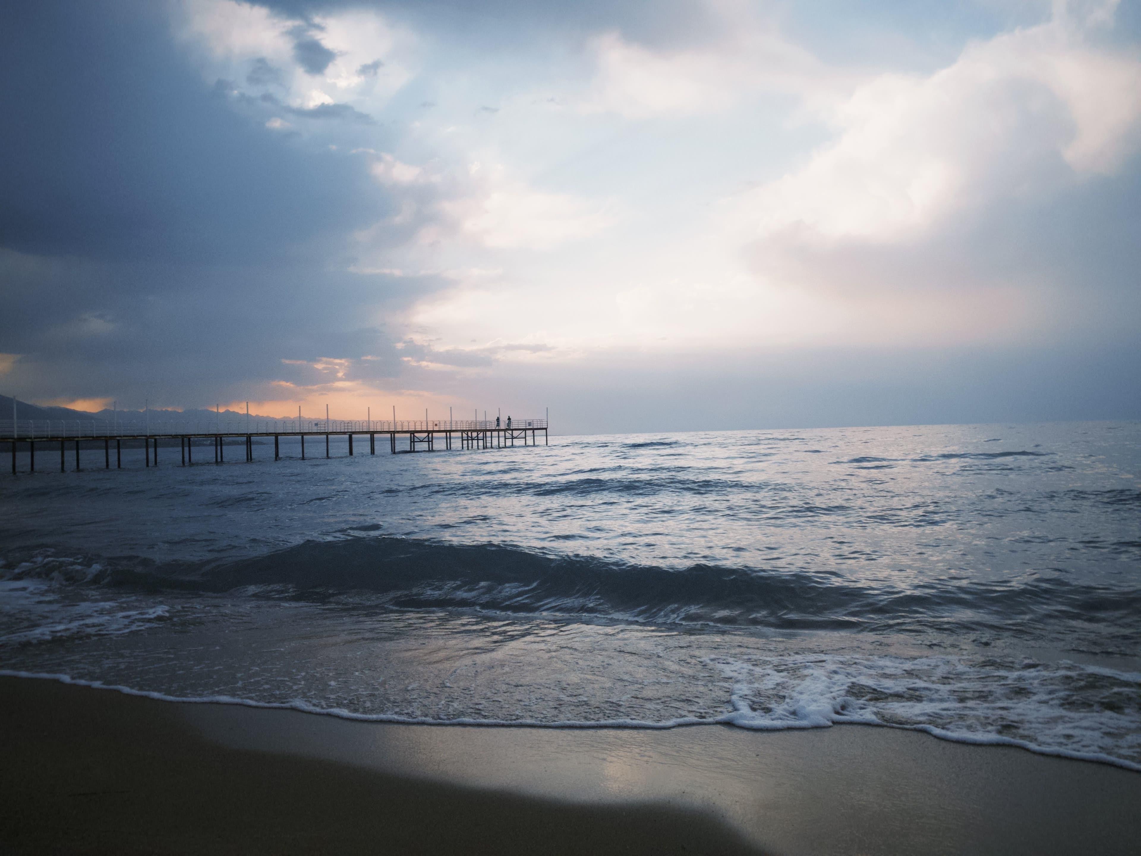
- [Issyk-Kul](post:issyk-kul): one of the world's largest alpine lakes; it never freezes.
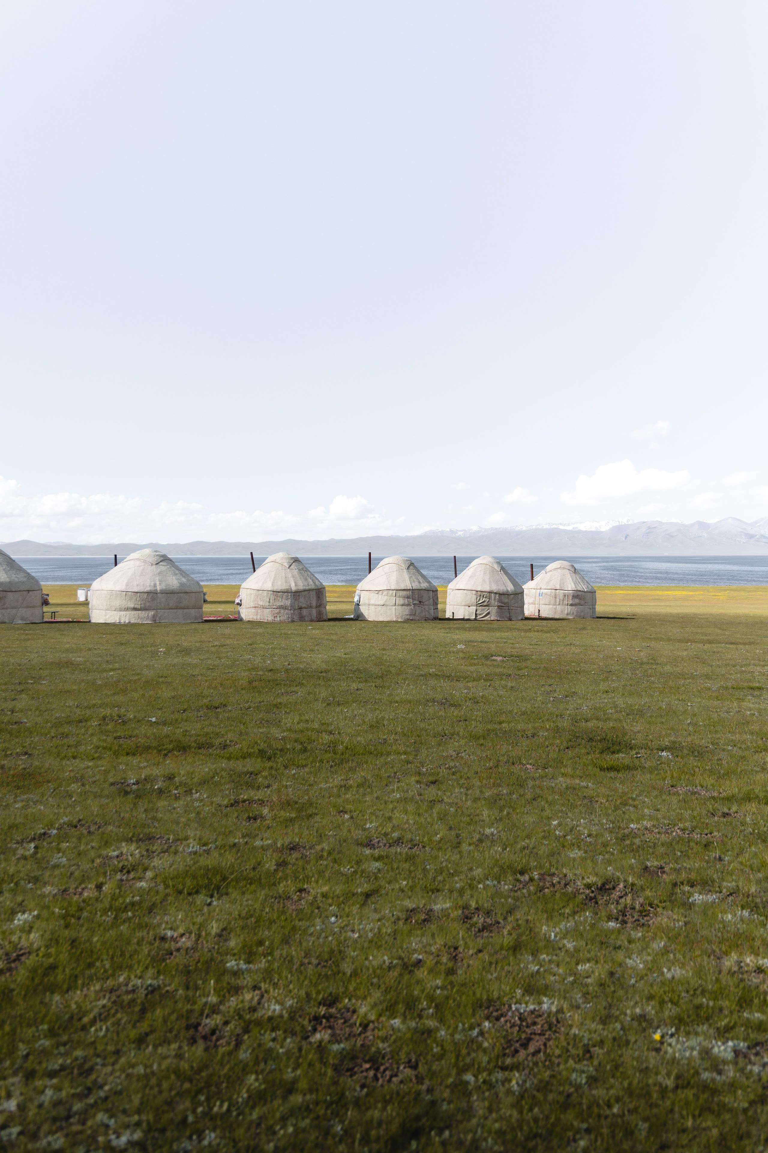
- [Son-Kul](post:son-kul): a high-pasture lake at about 3,016 m, ringed by nomad yurts in summer.
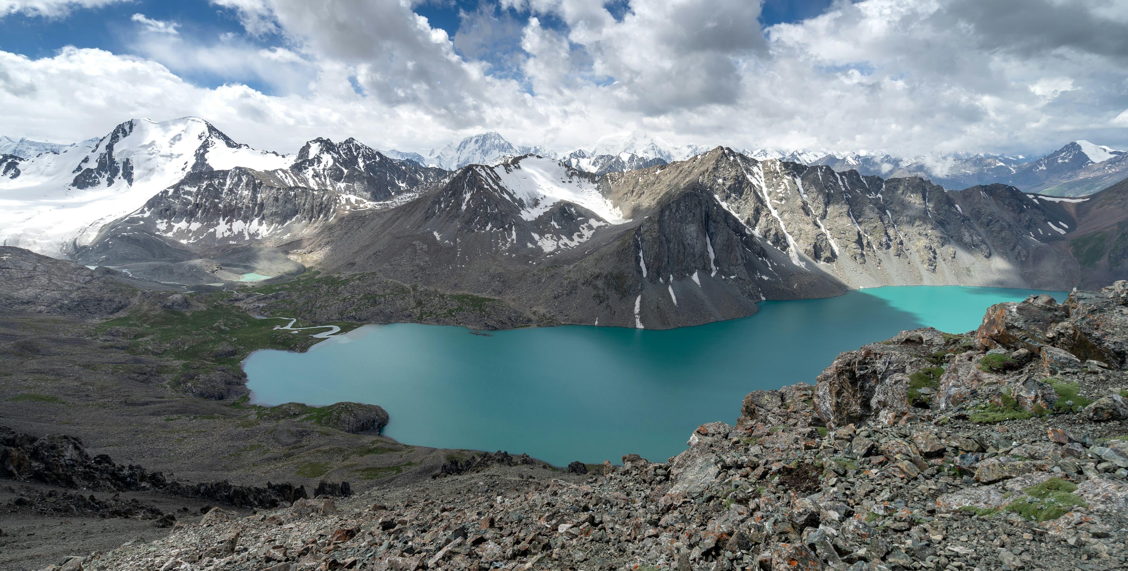
- Ala-Kul: a turquoise lake at about 3,532 m in the Teskey Ala-Too.
- Kel-Suu: a cliff-bound lake near the Chinese border (permit required).
- Chatyr-Kul: a vast high lake at about 3,500 m near Tash-Rabat.
- Sary-Chelek: a forested biosphere-reserve lake in the Western Tien Shan.
Plants and wildlife
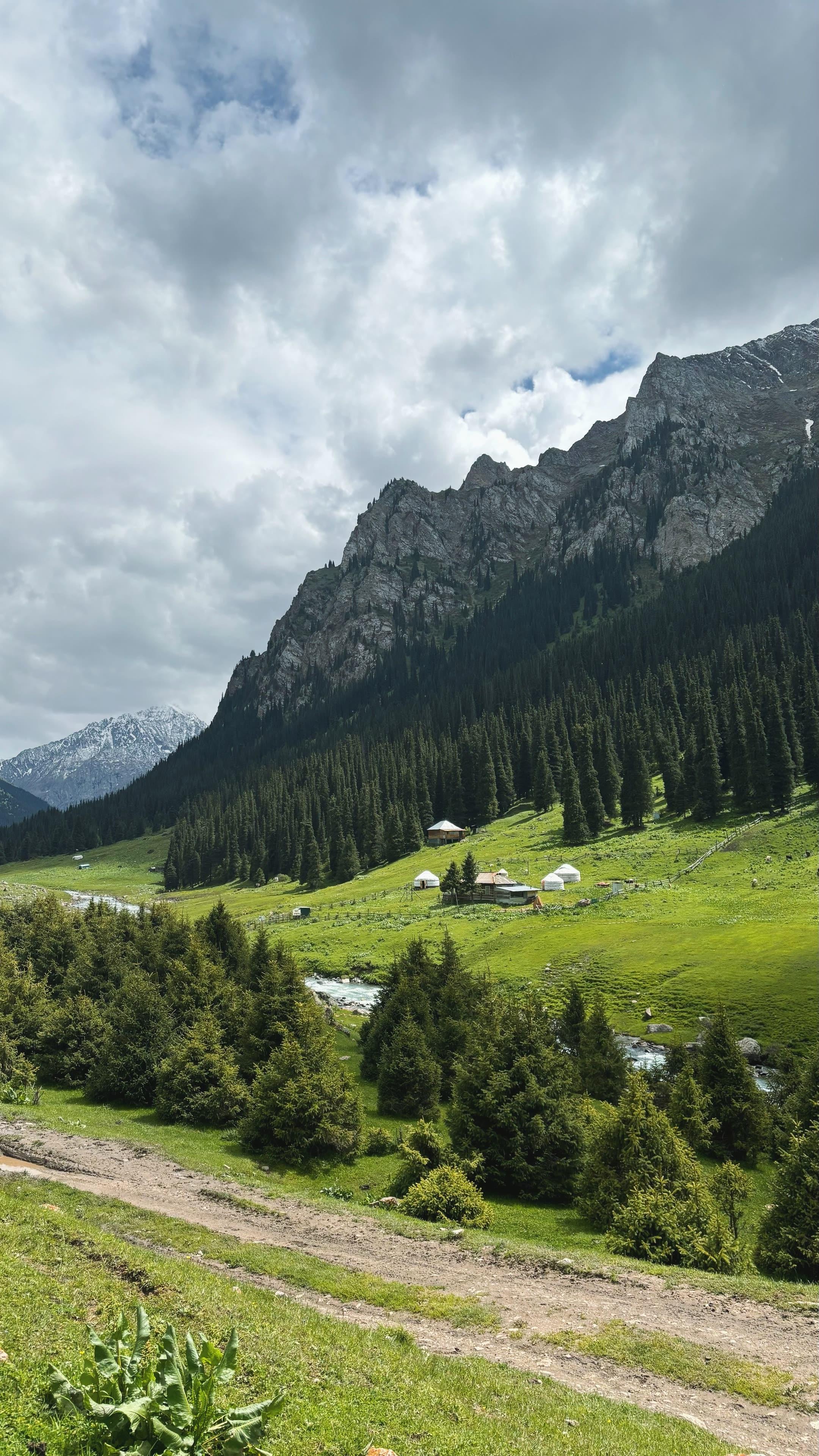
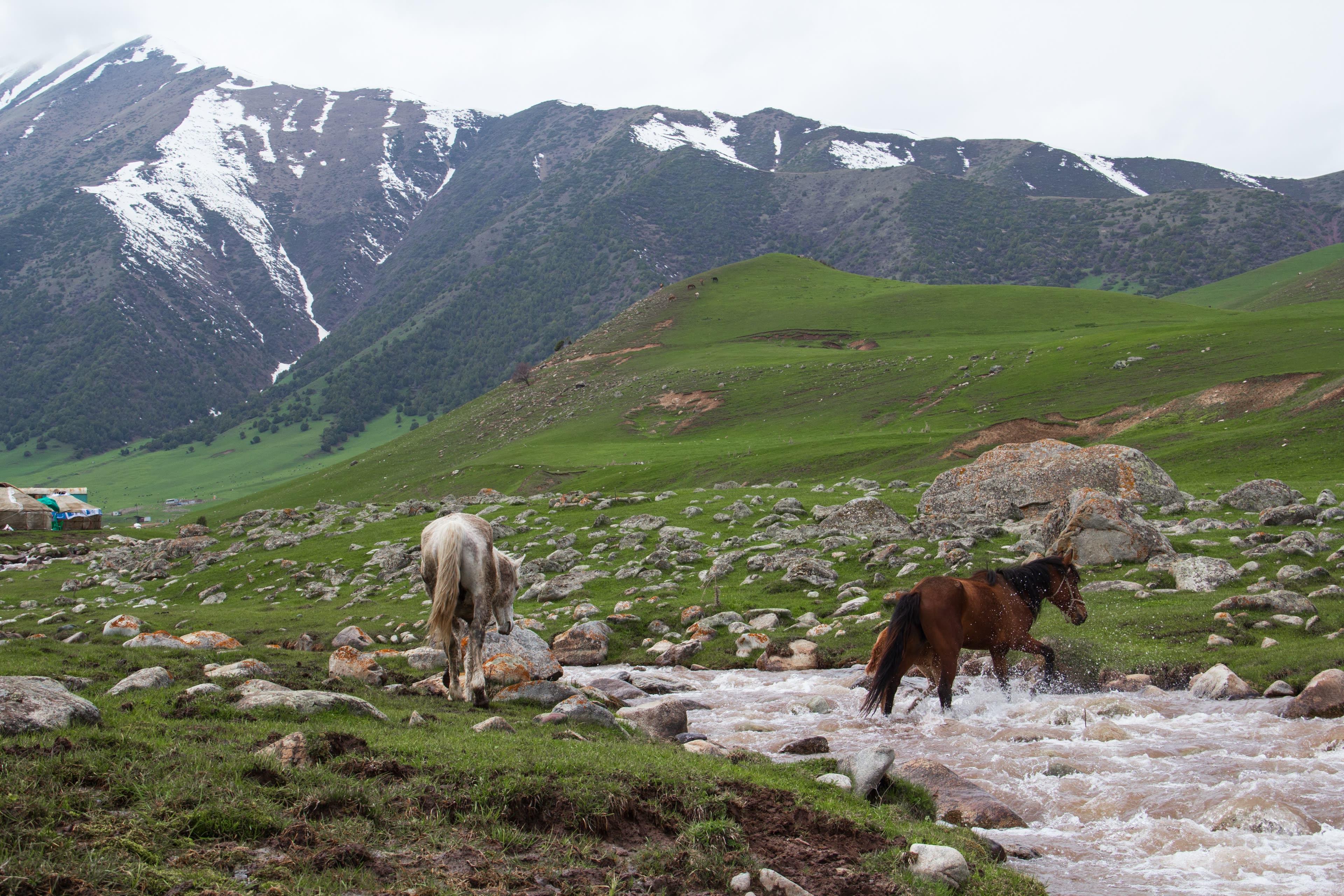
As you climb, fruit and walnut forests give way to dark Tien Shan spruce (Schrenk's spruce) between about 1,500 and 3,000 m, then alpine meadows and glaciers.
- Wild apples: the forests of the Tien Shan foothills are home to the wild ancestor of the domestic apple.
- Walnuts: Arslanbob has one of the largest natural walnut forests on Earth.
- Snow leopard, Siberian ibex, argali, wolves, golden eagles and bearded vultures.
The Western Tien Shan was inscribed as a UNESCO World Heritage Site in 2016, a transnational site shared by Kyrgyzstan, Kazakhstan and Uzbekistan.
History along the Silk Road
- Suyab (Ak-Beshim, near Tokmok) was a centre of the Western Turkic Khaganate.
- Balasagun, a Karakhanid capital, was the birthplace of Yusuf Khass Hajib, author of *Kutadgu Bilig*; its ruins surround Burana Tower.
- The northern branch of the Silk Road crossed Tien Shan valleys and passes; the stone caravanserai of Tash-Rabat survives.
More in our interesting facts about Kyrgyzstan.
Best ways to see the Tien Shan in Kyrgyzstan
| Route | Length | Difficulty | Highlights |
|---|---|---|---|
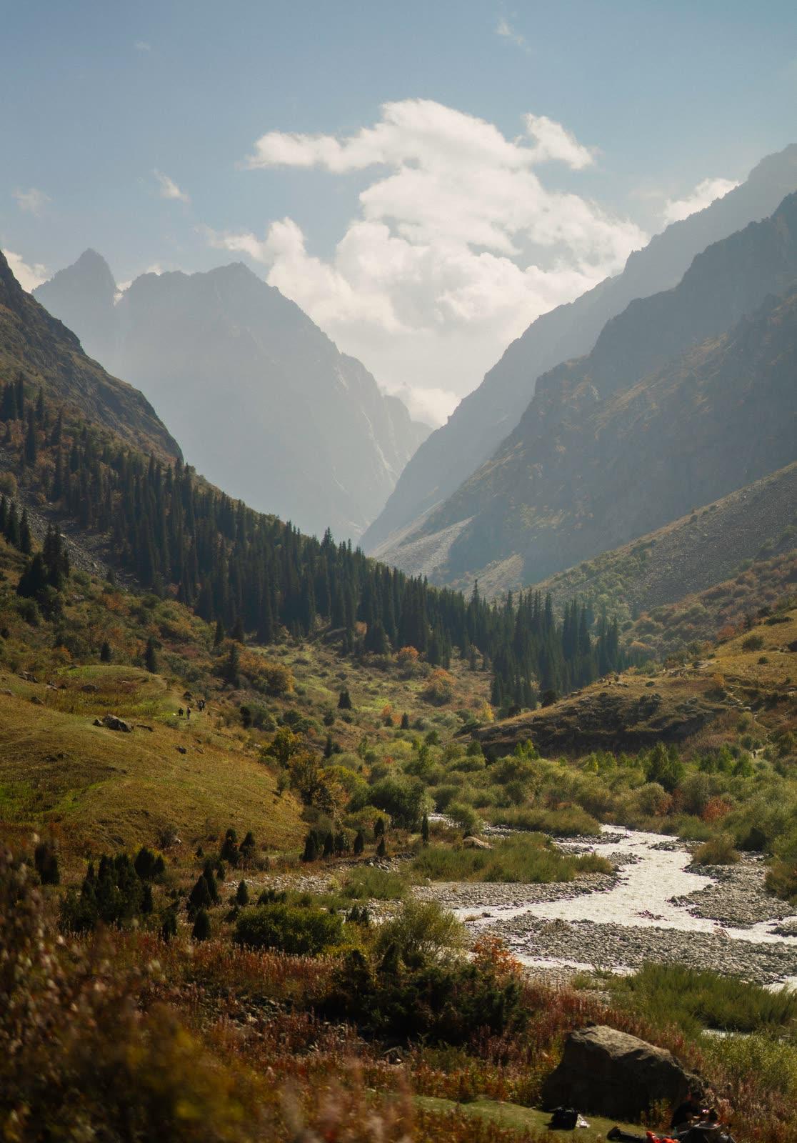
| Ala-Archa National Park | Day trip | Easy | 40 km from Bishkek, snowy peaks, spruce forest |
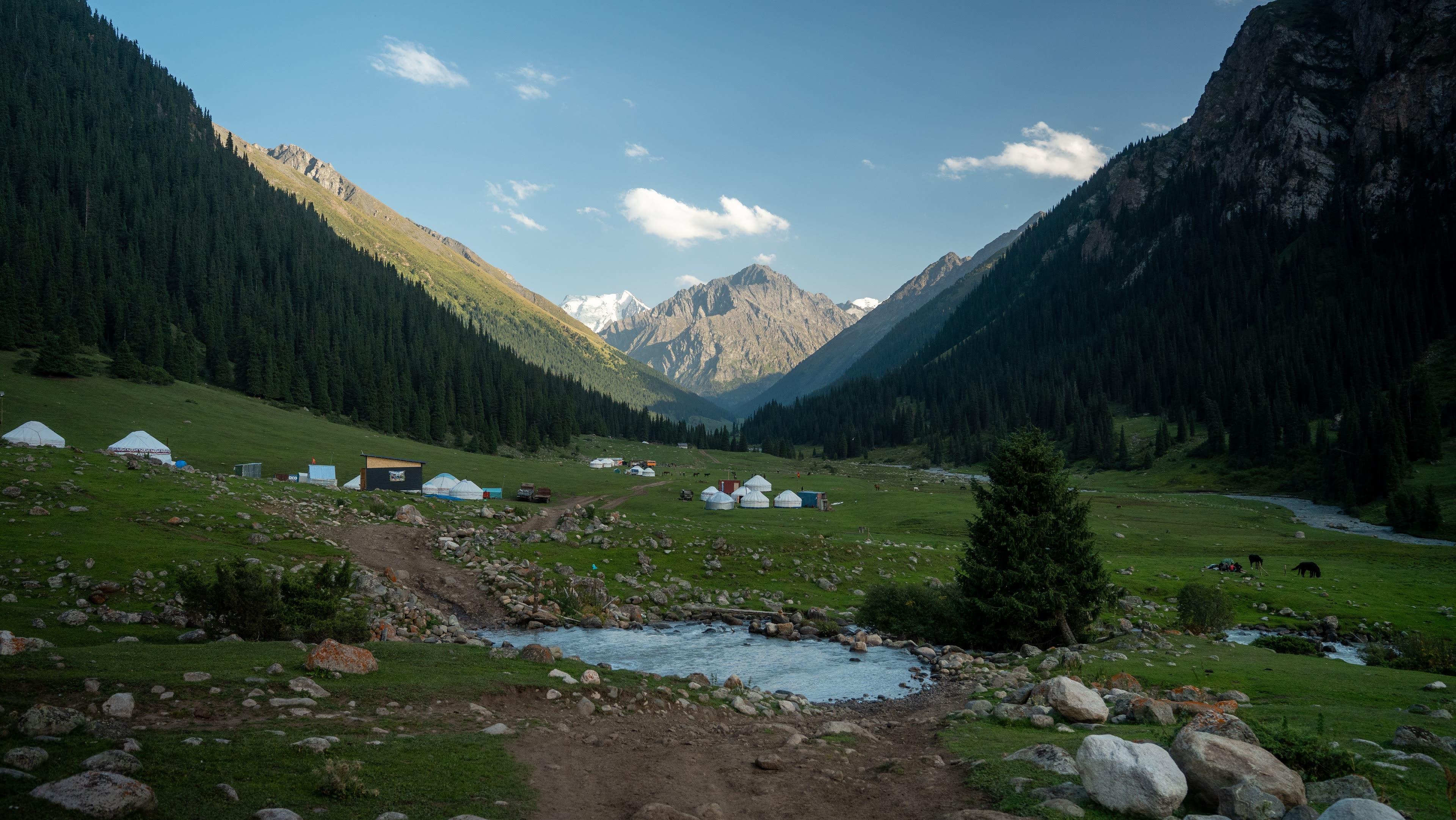
| Altyn-Arashan & Ala-Kul | 2–3 days | Moderate–hard | Hot springs, 3,900 m pass, turquoise lake |
| Kyzart – Son-Kul horse trek | 3 days | Moderate | Pastures, nomad yurts, lake views from the pass |
| Jeti-Oguz & Kok-Jaiyk | Half day | Easy | Red rocks, waterfall, horse ride |
| Kok-Kiya & Kel-Suu | 2 days | Moderate | Remote valleys, border-zone lake |
| Khan Tengri / Inylchek base camp | 7–14 days | Hard | 7,000 m peaks and giant glaciers |
Ready-made trips: Son-Kul & Ala-Kul, 7 days, Ultimate Kyrgyzstan, 10 days, Son-Kul 3-day horse trek.
When to go
Mid-June to early September for high passes, trekking and horse riding; July–August for Khan Tengri climbs; December–March for skiing in Karakol. See the best time to visit Kyrgyzstan.
Good to know
- Take it slowly above 3,000 m and drink plenty of water.
- Nights are cold even in summer: see our packing list.
- Border areas such as Kel-Suu, Inylchek and Khan Tengri need permits in advance.
- Travel with a local guide on high routes.
Sources
Frequently asked questions
Where are the Tien Shan mountains?
The Tien Shan stretches about 2,500 km across Kyrgyzstan, Kazakhstan, China's Xinjiang region and Uzbekistan. It covers most of Kyrgyzstan.
What is the highest peak in the Tien Shan?
Jengish Chokusu (Victory Peak), 7,439 m, on the Kyrgyz–Chinese border. Khan Tengri (about 7,010 m) is the second famous giant.
What does Tien Shan mean?
Tien Shan means 'Celestial Mountains' in Chinese. In Kyrgyz the range is called Teñir-Too, from the old Turkic sky god Tengri.